nyandw wrote:Thank you Ray for the link; nice to see your material once again!
My material is good only because I've been in the area on and off for 25+ years now, otherwise it blows chunks

. I even walked the east end of the line from South to Endo (gasp! trespassing - oh wait, that was 20 years ago, as there were still lots of covered hoppers by Continental Extrusion - statute of limitations and all). I don't think I even owned a 35mm Camera till the early 1990s, so you see the problem. Also, I didn't quite have the foresight I should have had.
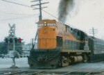
http://www.trainsarefun.com/lirr/lirrtr ... ler%29.jpg Emery 6/1958 (Mitchell Field platform)
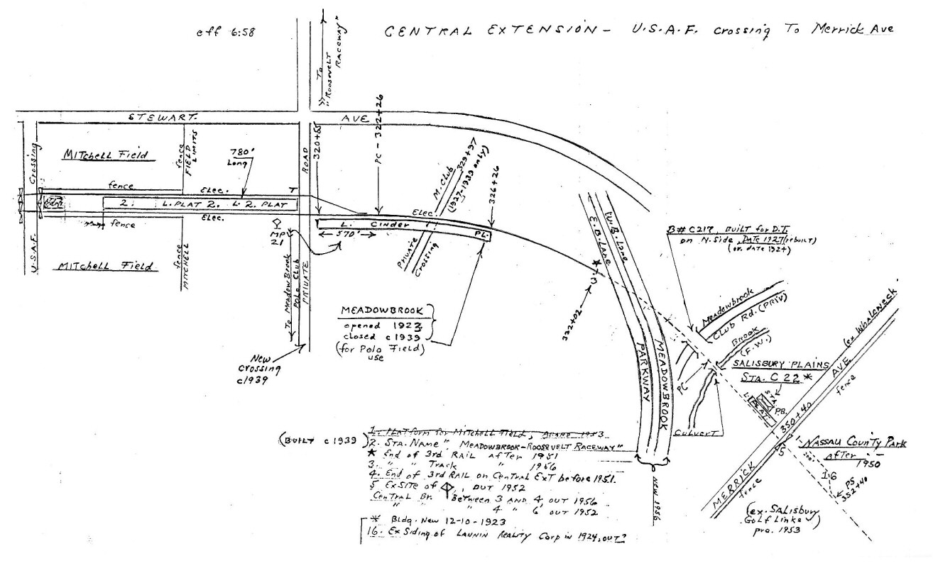
That map is really sketchy, the alignments don't match up, and it purports to be to scale.
On to the Historical Aerials Topo-maps of the area -
1947 and
1957 (wow, do those show up zoomed in on my browser when I previewed - if they do on your browser, just scroll out a small bit and you should be OK).
There is indeed a curve on the Central branch and Stewart Ave., but nowhere sharp as shown in the Emery image - Merrick Ave. is slanted too far East/West I think.