• MTA LIRR Double Track Project - Ronkonkoma to Farmingdale

  • Discussion of the past and present operations of the Long Island Rail Road.
Discussion of the past and present operations of the Long Island Rail Road.

Moderator: Liquidcamphor

  by johnmmurphy
 
Does anyone have photos or video of the new switch installation sites between Brentwood and KO? It would be interesting to compare the sites with the Ed Hand photos a few weeks ago.
JM
  by johnmmurphy
 
Any word on the progress of the Double Track Project? Sure would be nice to see a video clip of the route from Ronkonkoma to Brentwood.
  by MattAmity90
 
During the last outage, they installed not one but two switches to the West of the Peters Blvd. crossing forming a crossover. Seems that both CI Interlocking 1 and 2 will be eliminated, and the next crossover interlocking will be directly between Central Islip and Brentwood. BRENT Interlocking will also be eliminated so this would mean the first three crossovers will be KO, a TBD-named one, and JS will be converted into a crossover West of Deer Park.
  by johnmmurphy
 
Thanks MA. This is the info I was looking for. Do you know how the crossovers are arranged? W (//------\\ ) E or W ( \\____//) E ???

Thanks again
jM
  by MattAmity90
 
From a schematics standpoint:

[Deer Park]======================[Brentwood]=======\=/====[Central Islip]==================\=======/===[Ronkonkoma]

Photos were taken by Edward Hand.
36451505645_551b42c8b4_k.jpg
36283095172_db7162f700_k.jpg
  by johnmmurphy
 
MA

I am still confused (too many eastbound rides in the LIRR bar cars out of HPA I guess). Would you be so kind as to show the locations of Ocean Ave and Pond Rd on your schematic below.

Many thanks
JM


From a schematics standpoint:

[Deer Park]======================[Brentwood]=======\=/====[Central Islip]==================\=======/===[Ronkonkoma]
  by MattAmity90
 
Current layout with the tracks that are currently in service (hence the lack of a second track)

[Brentwood]=----------||1.)---------||2.)--------||3.)---==[Central Islip]=||4.)===-----------------------------------||5.)-----||6.)---=======\=======/===[Ronkonkoma]

<<<WEST EAST>>>

Grade Crossings: From Left to Right.

1.) Islip Avenue/Route 111 (first crossing to the East of Brentwood)
2.) N Peter's Boulevard (middle crossing in between Brentwood and Central Islip)
3.) Carleton Avenue (first crossing West of Central Islip)
4.) Lowell Avenue (directly East, next to Central Islip
5.) Ocean Avenue (second crossing to the West of Ronkonkoma)
6.) Pond Road (first crossing to the West of Ronkonkoma)
  by johnmmurphy
 
How is this?

[Brent]==______||_\___/_||______||_____==[CI]=||==____________________||__/_||_======\
[Brent]==x-------||---\-/---||--------||------x==[CI]=||==x---------------------------||-/---||--x=\====\===\===[KO]
.Sta..............Rte.........NP.......CA...........Sta.LA.............................. OA.....PR......\========\==[KO]
...................111.........................................................................................................Sta

==== Existing multi-track
____New Double track
x switch to be decomm
\ switch in svc or future switch
/switch in svc or future switch
|| grade crossing
  by MattAmity90
 
Two more photos by Edward Hand, this time showing the site of a new crossover interlocking that will be located in between the N Peters Blvd. and Islip Avenue/Rt. 111 crossing.
35945213184_d170c29d08_z.jpg
35945211224_0306f1a131_z.jpg
  by bellstbarn
 
At Little East Neck Road, I presume the second track will go where the signal box is.
ImageLittle East Neck Road onMainLine LIRR by sphoto33, on Flickr

ImageLittle East Neck Road, towards Wyandanch, 8.26.2017 by sphoto33, on Flickr

The photo above, taken 8.26.2017, looks towards Wyandanch from Little East Neck Road.

ImageLittle East Neck Road, looking west to Pinelawn 8.26.2017 by sphoto33, on Flickr

The above photo, taken 8.26.2017, looks east from Little East Neck Road to Pinelawn.

ImagePinelawn, east from Wellwood Ave 8.26.2017 by sphoto33, on Flickr

I wasn't sharp enough to find a parking spot near the Pinelawn station as there are no shoulders. Maybe one could briefly park on a driveway leading into the private Pinelawn cemetery and walk back to the railroad crossing. Parking is now impossible at the station.
  by MattAmity90
 
Yes, the second track will be laid where the signal box is. The photos you took at Little East Neck Road and at Pinelawn were looking South. From Ronkonkoma to Central Islip the second track has been laid and that was to the North of the current or right next to the power lines. From Central Islip to Brentwood, then Deer Park to Farmingdale it will be laid to the South of the current and on the side in which the power lines DO NOT run along.
  by johnmmurphy
 
I just noticed the following PR release:
The LIRR will perform track work between Farmingdale and Ronkonkoma between midnight and 8:00 a.m. on Saturday, Aug. 19, timed to inconvenience the fewest number of customers possible. Among the work, switches will be replaced and track inspections will be performed using a specialized diagnostic car fitted with ultrasonic and induction test equipment.

Anyone know what switches were added/deleted/replaced???

Thanks
JM
  by Amtrak7
 
I've been told Eldee siding, though I'm not sure where that is myself. Someone in this thread probably does, though.
  by MattAmity90
 
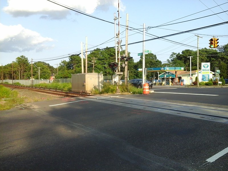
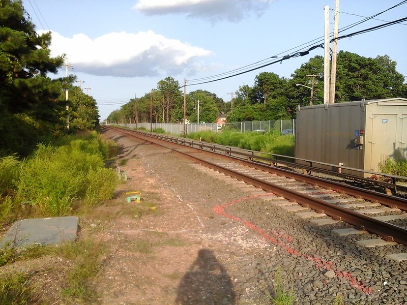
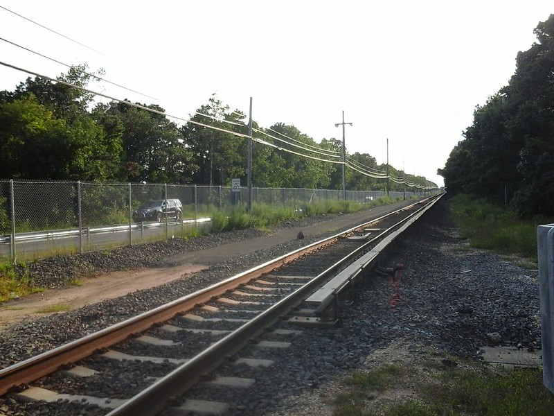
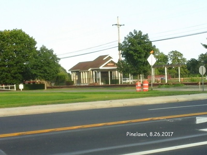
Well there are a few sidings still in existence in the single track territory. There's Commack Road, Carll's Path, Wyandanch, Pinelawn, and a few in Farmingdale. The second track over Deer Park Avenue where the old Deer Park station was located was ripped out, and they worked for a few months to level out the ballast for the second track in that area where it turns into embankment.
  • 1
  • 17
  • 18
  • 19
  • 20
  • 21
  • 42