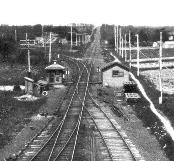
Speaking about a possible mile post still in existence along that ripped up section, Is there any proof to factually identify that the mile post locations on the Montauk branch conform with their location along the Montauk Right of Way when measured from MP65 at Manorville (MR) east through MP 94 at Bridgehampton (BH) and MP115 at Montauk (MY)?
It appears plausible in theory, considering that the connection between the LIRR at PT and the South Side RR at Center Moriches Did not take place until after the LIRR had assumed control of the South Side RR which was after the LIRR had cut them off by building from Manorville to Bridgehampton and Sag Harbor before extending the line to Montauk a few years later.
Thank You for your insight.
The views expressed above are solely the private opinion of this user. They do not reflect the views, opinions, stance or otherwise the decisions made by the railroad, organization, agency, or society to which forum or topic a post is made.