• Ashley Planes Question

  • Discussion Related to the Reading Company 1833-1976 and it's predecessors Philadelphia and Reading Rail Road and then the Philadelphia and Reading Railway.
Discussion Related to the Reading Company 1833-1976 and it's predecessors Philadelphia and Reading Rail Road and then the Philadelphia and Reading Railway.

Moderator: Franklin Gowen

  by JhnZ33
 
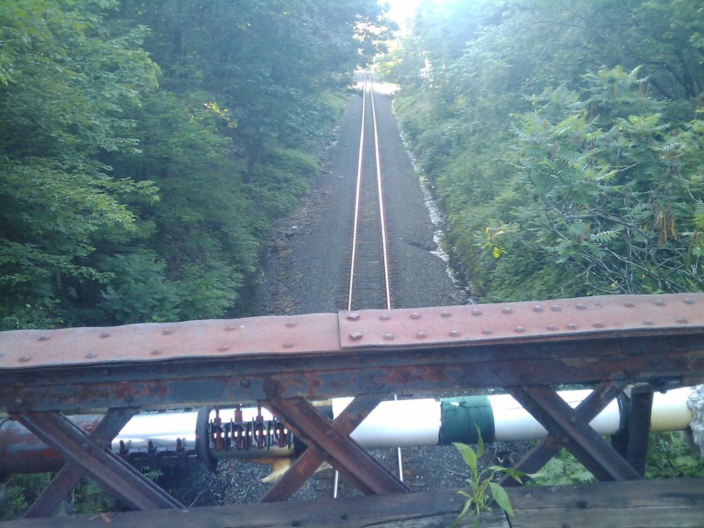
CGRLCDR wrote:Thanks for all the information and mhig9000 thanks for the directions - they were perfect. My buddy and I were a little pressed for time so we only spent about 45 minutes exploring. We found the mill pond and the gravity row, telephone poles, the cut and the bridge footing. The ROW was quite overgrown, so we were able to only hike up a short way.

Upon departing the restaurant we headed up 309 south to Glen Summit and Mountain Top and then took 347 down to Rt 80. It looked like the ROW followed 347 to the east. At one point we took a left off of 347 and crossed the ROW on a fill that was probably a bridge sometime in the past. The ROW looked in pretty good shape at that point. We need to come back and do more exploring and perhaps a little Jeeping when we get an earlier start and have a full day.

We did catch a glimpse of what appeared to be an abondoned airport just west of 347 in the Glen Summit area. I can see it on Terraserver, also. Does anyone know what airport that was? I was also surprised by the fact that there are abandoned ROWs all over the place in that area. Probably I could spend a couple of years exploring up there.
Actually, the route number is 437. Route 347 is located in lackawanna county - 20 some miles north of MountainTop
Also, I have a general question on the planes. How did they make money moving freight over the hill? It is so steep in that area that they must have been severely limited in the number of cars they could schlep over at one time. Surely the railroad must have been able to more efficiently use the back track for freight and passenger service.
Actually, up until diesel engines became available, it was more cost effective to send freight over the planes than to use the backtrack. The cost to run the needed multiple steam engines up the 2% grade of the backtrack was costed more than using the Planes. This was the sole reason the planes existed for over 100 years until 1948.
I imagine there must have been some spectacular accidents on the planes with runaways due to cables snapping or breaks failing. Does anyone have a source of information on plane mishaps?
There were safety locks designed into the planes to prevent just such types of accidents. More information on the planes can be found here , here and here

John

  by JhnZ33
 
Ken W2KB wrote:(2) To my knowledge the planes were used primarily to lower loaded coal hopper cars and bring up empties so the weight was far less an issue than if loaded cars were pulled up the planes. It saved some 20 miles or so of travel on realtively slow curved track, also with grades.
Actually, just the opposite. Loaded cars were pulled up the planes and then assembled for travel in Penobscot yard for eastbound shipment.

The backtrack was designed primarily for use as a passenger route.


John

  by Ken W2KB
 
JhnZ33 wrote:
Ken W2KB wrote:(2) To my knowledge the planes were used primarily to lower loaded coal hopper cars and bring up empties so the weight was far less an issue than if loaded cars were pulled up the planes. It saved some 20 miles or so of travel on realtively slow curved track, also with grades.
Actually, just the opposite. Loaded cars were pulled up the planes and then assembled for travel in Penobscot yard for eastbound shipment.

The backtrack was designed primarily for use as a passenger route.


John
Thank you for the correction.
  by Ken W2KB
 
b&m617 wrote::P If you go, do check out the Huber Colliery; I've been in there a few times and nobody from the earth conservancy(owners, office right at the colliery) has stopped me...if they do, tell them you are with the railroad!!
Be careful and get lots of pictures, who knows how long this gem is gonna be there!!!

Work safe
Derail :-D
December, 2007:

Image

Image

Image
  by RussNelson
 
Coming home from our Quaker gathering in Blacksburg, Virginia, we're spending the night in Pittston, PA. I drove back south to Ashley and took some photos: http://www.flickr.com/photos/russnelson ... 968775054/

The photos are all georeferenced, so you can see exactly where I took them. If you recognize any of the locations, feel free to add comments (you will need to be logged into Flickr to comment).
  by JhnZ33
 
Russ, it'll be quite hard to identify most of the pictures for a few reasons:

1. photo quality (the planes are not very photo-genic, much of the planes are in locations that have very poor lighting conditions)
2. no real landmarks/or similar landmarks in different locations
3. Vegetation growth obscuring tell-tale markers
4. Not knowing how you traversed the planes (from top to bottom?, bottom to top?, starting at a particular point?)

I'm born and raised in Ashley and have traversed the planes many a time. Some of the photos I've taken years ago, I can't recognize (didn't think to detail the location and didn't and don't have a GPS).

Best time to explore the planes is when there is no leaves on the trees (as with most archaeological hikes).

JP
  by JRWarrick
 
The fall is a great time, but even better yet is just after a very light snowfall as the snow will highlight the ground scars and make easily missed items very visible. That is how I first saw them a few years back.
  by RussNelson
 
A fellow prompted me to look at my photos again. I hadn't uploaded this photo earlier because I didn't think it was of the Ashley planes:
Image
but compare it to a historic view of this same location:
Image
I'm pretty sure that I took my photo from the exact same spot on the bridge, only a foot or two back so you can see the bridge.
  by Andyt293
 
Nice shot of where the planes joined the mainline.
  by frank754
 
I just stumbled across this which doing some research on Google.
This gentleman has done an incredible job creating an overlay using Google Earth of the rail lines and related historical places (stations, power plants, roundhouses, coal mines) in NEPA.
The view is of the current day, but the lines and labels trace the routes of all the rail points of interest as of circa 1930.
You can follow the entire route of the WB&H with this, really nice, and actually see some roadbed in places as patches.
You will need Google Earth installed. Then get the .kmz file (link to it on the first post), and then just carefully zoom in and navigate wherever you want in the area.

http://bbs.keyhole.com/ubb/ubbthreads.p ... er=1110979