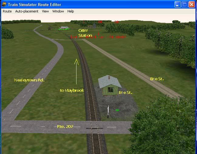
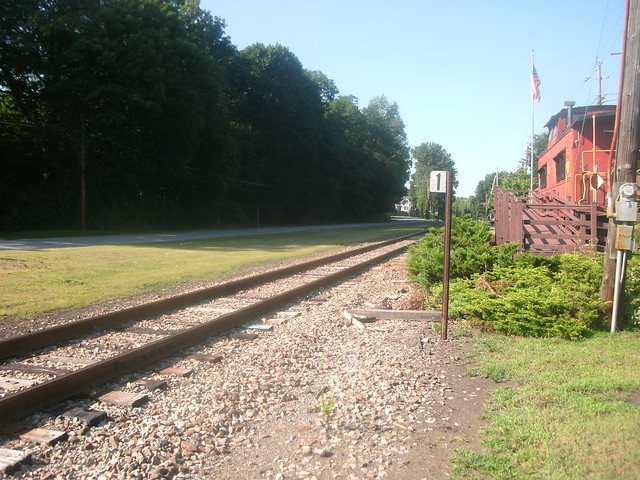
The Campbell Hall station wasn't on the Graham Line. The Graham was built by the Erie circa 1904-1909 as a freight-only route to by pass the main line. As such, there were no passenger stations anywhere on the Graham. The Campbell Hall station was on the Montgomery branch, and predated the Graham by about 40 years. It was about where the caboose is on display now- north of 207, between Neelytown Road and Erie Street. In fact, the area around the station was used as a staging area for materials for the building of the Graham. The caboose can be seen on Bing Maps, angled aerial view.
The Bullville station (as mentioned, no 's') was just north of Rt. 17K; the ROW crossed a little east of Lunny Lane (east of Rt. 302). Again, on Bing Maps the ROW can be discerned.
Woodbury is harder to explain. It was on the Newburgh Short-Cut, between Highland Mills and Mountainville. It was located where the Short-Cut crossed over Rt. 32 on a bridge; on the east side of the road, and about 15 feet higher. It also predated the Graham by about 40 years. When the Graham Line was built, it was on a fill another 25 or so feet higher than the Short-Cut. The current Woodbury Viaduct passed over it and Rt. 32, making a three-level crossing. Again, traces of the ROW can be seen on Bing Maps between 32 and the Viaduct.
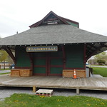
Walter, you should really consider building up a real library (the printed kind, not the web). Most of your many questions are covered in a few books. The above information is in large part from Vol. XI of "The Next Station Will Be...", including pictures (from 1910) of all of these stations. It's still available.