Railroad Forums 

  • Route of "Mercer and Somerset"

  • Pertaining to all railroading subjects, past and present, in New Jersey
Pertaining to all railroading subjects, past and present, in New Jersey

Moderator: David

 #157643  by pumpers
 
Around 1880 there was the "mercer and somerset" railroad which
ran from Millstone NJ (extension of what later became
the PRR millstone branch) through Hopewell and Pennington to Somerset Junction with the Bel-Del
along the delaware river just south of Washington Crossing.
It was ripped up after only 5 years or so.

I am trying to find a map (on-line i hope) of the detailed route of the M&S from Hopewell to the Delaware River. Anybody know of one?

(From Millstone almost to Hopewell, the route shows up as a
dotted line on some topo maps like the ones at
http://www.terraserver-usa.com/ , and it matches up with
what you see in aerial photos still like at maps.google even over 100 years later.
But there is nothing west of
Hopewell or in the boro itself) I can find.

Also, I am fairly sure it ran just south/east of the later Reading (now CSX) line
in Hopewell Borough. THere is a Somerset St in Hopewell which runs a block south of the Reading. Maybe this is on the old ROW?

THanks, JS

 #157655  by CarterB
 
There is a video available that traces the route.

FROG WAR! THE MERCER & SOMERSET STORY
Lakeside Productions #7MS

In addition, excerpts from previous posts on this subject:

"West of that location, you can trace the ROW using the aerial photos on terraserver.microsoft.com pretty well. It is quite visible as it passes though the Stony Brook Golf Course in Hopewell. Additionally, Jacob's Creek Road in Ewing/Hopewell is laid atop the M&S ROW."

M&S roughly paralled the "Reading" from Hopewell, thru Marshall's Corner to Pennington, then along/under Jacob's Creek Rd. to 'somerset jct' on the "Bel-Del".

 #157673  by TAMR213
 
There is also a good book on the NY division of the PRR that includes VERY detailed history and information on how the NEC from Philly to NYC came to be what it is today. With info about all interlockings, and stations, and points of interest in between, with photos of most from different times. Also contains nice maps, including one with some nice info about the M&S. The book is called "Triumph V" by David W. Messer. I couldn't be more happy with my recent purchase.

 #157761  by carajul
 
The M&S up near E. Millstone was one of the first RRs to be abandoned in NJ. I think it was abandoned in the late 1880s. The bridge pier you see in the river just west of E. Millstone (looks ancient, made of stone with a tree growing out of the top) once carried the PRR Millstone branch to connect with the M&S. This bridge was abandoned in the 1880s upon the M&S becoming defunct.

 #157891  by Tom_E_Reynolds
 
""I am trying to find a map (on-line i hope) of the detailed route of the M&S from Hopewell to the Delaware River. Anybody know of one? ""

This is a GREAT map for tracing the M&S! I actually photo-copied it 15 years ago, but its nice that today its online!

Enjoy!

http://mapmaker.rutgers.edu/HISTORICALMAPS/NJ_1878.jpg

 #158605  by CarterB
 
Found this exact map on the Rutgers site. Shows exactly where the M&S ran in Mercer County. Happy hunting!!!

http://mapmaker.rutgers.edu/1872Atlas/M ... ty1872.jpg

According to: http://members.tripod.com/njrails/19th_ ... merset.htm
"There appears to be some remnant of the ROW in Harlingen. This is at the intersection of Rutland and Harlingen road."

I believe I have seen that the M&S station in Pennington still exists.

It also appears on topozone map showing ROW around Harlingen and possibly where the 'pipeline' is between there and just north of Stoutsburg.

http://topozone.com/map.asp?z=18&n=4473 ... ayer=DRG25

 #164187  by Mercer&Somerset
 
I can't let my namesake railroad have yet another dicussion fade into the RR.net archives, like many past ones have...

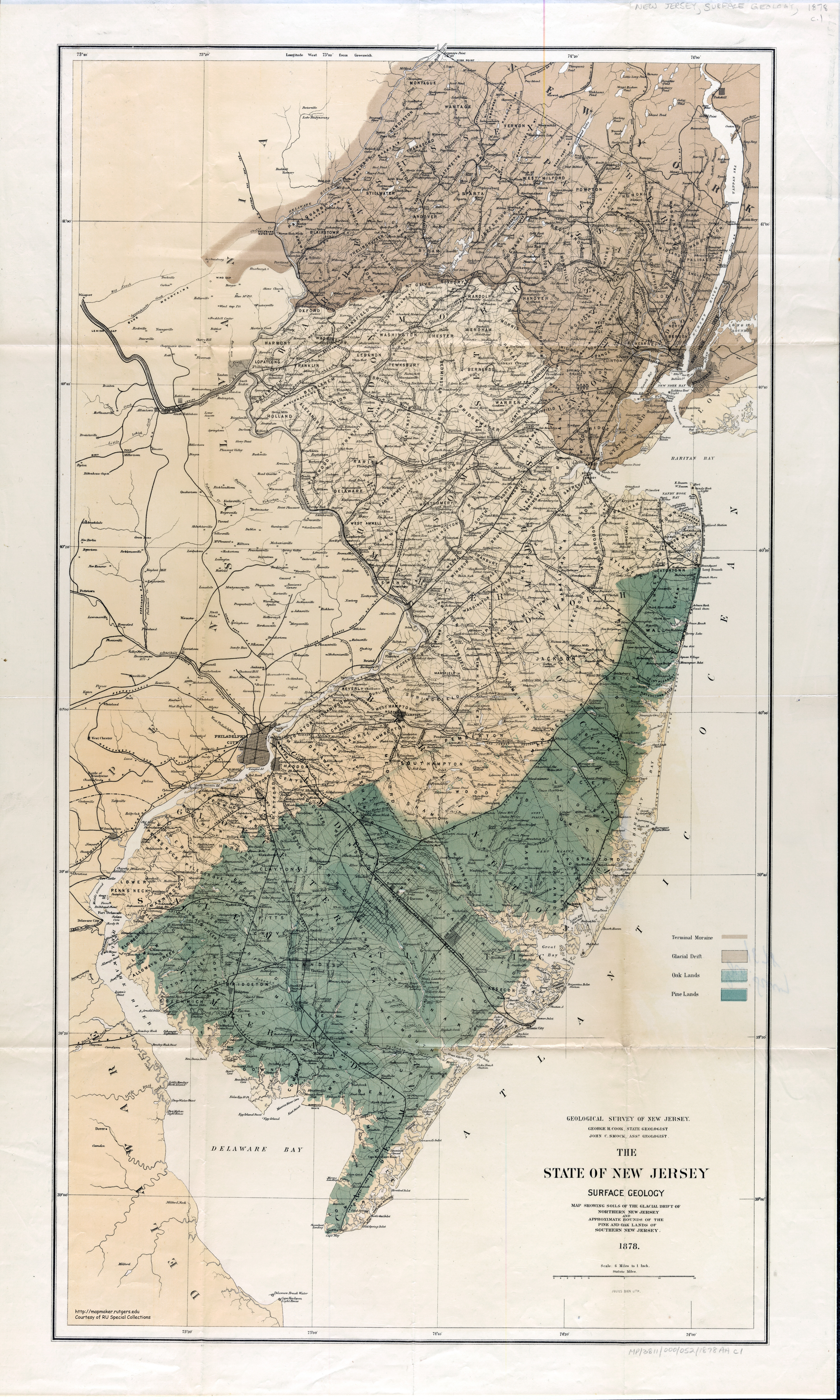
I spent a good chunk of yesterday walking along the West Trenton ROW hunting down the site of the Frog War in Hopewell. I parked at the VFW Post along Van Dyke Road in Hopewell, and walked east along the present ROW for a few hundred feet before venturing into the woods. The original Delaware & Bound Brook (Reading New York Line, CSX Trenton Line) ROW actually continued curving south past its current alignment, having done so to avoid confrontation with the M&S for as long as possible. The original D&BB ROW was tough to discern at first, but working backwards from a bunch of rocks that were once part of a bridge abutment across a small stream, I was able to find it and, from there, find the approximate crossing with the M&S. When winter rolls around I hope to return to the site (it's a little overgrown now), Google maps in hand, to nail down the location for sure. It was my first trip to the Frog War site, and it was quite interesting. Plus, I got to see a little CSX action (if only the foul-smelling garbage train!)

In addition to the site from yesterday's adventure, there are many remnants of the ROW remaining, although development is fast erasing them, especially in Montgomery. Jacob's Creek Road, running from the D&R Canal to Washington Crossing-Pennington Road is laid atop the M&S ROW, on a twisting section known as "The Corkscrew" when the M&S first opened (at least according to "Frog War!"). From there, the ROW is traceable on maps.google.com until the Pennington-Titusville Road/Route 31 intersection in Pennington. The Pennington station does indeed still exist in the southwest quadrant. The station is currently aligned to be parallel to Pennington-Titusville Road; however, it originally lined up with the ROW (roughly 45 degrees askew from its present orientation). The ROW is tough to trace from Pennington to Marshall's Corner, but is easy to trace from Marshall's Corner to Hopewell, where it crosses the CSX Trenton Line just east of Vandyke Road. The trail is cold through parts of Hopewell, but Model Ave/Railroad Pl/Somerset St. appear to be where the ROW ran. From the end of Somerset St., the ROW is again tough to trace until the Montgomery border at Province Line Road. From there, the ROW is relatively easily traced on Google all the way until it crosses Willow Road in Hillsborough.

I've hiked more or less the entirety of the ROW in Montgomery--there are numerous large chunks of ROW remaining. Starting at Province Line Road, the ROW can be seen on the southern edge of the Province Line Swim Club just south of the CSX line. There's nothing of much interest from Province Line Road to Spring Hill Road. Between Spring Hill Road and Hollow Road, there are two stone embankments that allow a stream to pass through the ROW. Unfortunately, this is buried on a private hunting reserve, surrounded by electrified fencing, at the end of a target range, so I can't recommend looking for it (climbing through the electrified fence onto the gun range just to get a better picture of the stone culvert probably wasn't the best idea I ever had!) From Hollow to Route 601, the ROW is essentially intact, and will likely remain that way since a lot of the land surrounding it has been bought by the town for the new high school. The ROW along that section has a number of interesting artifacts, including a stone embankment and a an arched culvert (both featured in "Frog War!"). Potentially the most exciting part of the ROW is near the crossing of Route 206 in Harlingen, where there is a long contiguous section of the ROW. Just west of the crossing of 206 is where the Harlingen Station and turntable used to be. There is a large, circular area with much less vegetation than the surrounding area, which I assume is the site of the turntable. Most of the land containing the ROW between Kildee and 206, including the part with the turntable, was preserved last year by the township, which is good news for M&S fans!

That topographic map in the above post does accurately trace the ROW through Montgomery.

The Start of the "Corkscrew" (follow Jacob's Creek Road)

Approximate Location of Pennington Station

Approximate Location of the Frog War

Approximate Location of Harlingen Station & Turntable

 #230084  by Mercer&Somerset
 
I finally got around to uploading some of my M&S photos. All are from Montgomery Township, and are between one and two years old. I'll start at Province Line Road (the Hopewell/Montgomery border) and head east from there.

Looking east from Province Line Road, the edge of the Province Line Swim Club's property is the location of the M&S ROW. About 100 feet north (left from the perspective of the picture) is the West Trenton Line. The M&S and D&BB ran roughly parallel to one another from the Frog War site in Hopewell to Province Line Road, at which point the D&BB turned north sooner and more sharply than the M&S

We are now in between Spring Hill Road and Hollow Road. Looking north, perpendicular to the ROW, we see these stone embankments allowing a stream to pass through the ROW. This relic is located behind an electrified fence at the end of a gun range, so I wouldn't recommend visiting it :-D

Looking east along the ROW, from the above stream.

Looking north, perpendicular to the ROW, we see an embankment on the west side of Rock Brook (between Hollow Road and Rte. 601). The ROW doesn't start up again for another couple of hundred feet, so there was presumably a relatively long (if not very tall) trestle over this marshy area.

Along the ROW after it starts up again, we find Mile Marker 16--by far my favorite artifact along the line.

The ROW, looking east from the milestone.

Past the milestone, beneath the ROW, we find this stone arch, still in pretty good shape after 130 years.

Now we're north of Skillman Road, and the ROW has turned more sharply to the north. The high embankment is for crossing Back Brook. To the right (northeast), the ROW runs right into a new 4500 square foot house--reminds me of an episode of "Amazing Stories". The pedestrian bridge is one of two in Montgomery located directly on the M&S ROW (the other is in Pike Run, north of Belle Mead Griggstown Road).

The ROW continuing from the above embankment. The house I mentioned is just out of the field of view to the right.

We're now in between Kildee Road and Route 206.
Looking southeast, the ROW is quite wide open. The ROW in this stretch goes from the mild cut we see here to a lengthy, 6-foot-high fill, as it negotiates subtle changes in the topography.

Looking East from the ROW is an unusually empty, circular meadow adjacent to 206. This is the location of the M&S turntable in Harlingen. Nearby was the M&S station, although I don't know exactly where.

Here we see the ROW between Montfort Drive and Belle Mead-Griggstown Road. Montford has a small, dead end street off of it leading directly onto the ROW, which provides very convenient access.

Finally, we see the M&S ROW on the right as it crosses Cruser Brook, just south of Belle Mead-Griggstown Road.

 #230110  by Diamond_D7
 
GREAT stuff M&S!! Really interesting. All the hours I spent in the pool club's parking lot waiting for trains, and I never would have known I was on the old ROW.

Do you have any more photos from Provine Line Rd West? I'd love to see any photos of remnants in Hopewell.

So on this map

http://mapmaker.rutgers.edu/HISTORICALMAPS/NJ_1878.jpg

is the D&BB ROW equivalent to the current layout of the Trenton Line? If so, did the more southerly "original" route cross the M&S in another location to get up to Bound Brook?

Thanks again for the cool photos and all the info!

 #230304  by Mercer&Somerset
 
Thanks for the feedback! As I've suggested before on the site, the best source for information on the M&S is the "Frog War!" video. It wasn't cheap, but was worth every penny, especially since, having been filmed 15 years ago, it has shots of a lot of the ROW that has since been destroyed by development.
is the D&BB ROW equivalent to the current layout of the Trenton Line? If so, did the more southerly "original" route cross the M&S in another location to get up to Bound Brook?
Although the D&BB ROW has been widened and changed slightly over the years, it's essentially in the same place it was 130 years ago. The site of the actual crossing in Hopewell changed after the M&S lost the Frog War and accepted that the D&BB was here to stay, which permitted the D&BB to straighten its line. But, it was a minor change (maybe 50 or 100 feet).
I never knew the mile marker still existed. I thought it was removed 30 years ago!

Question: Just north of Bellemead-Grigstown Rd, IS this a bridge on the ROW?
It is! I think it's really cool that all these years later, there are bridges going up in the very same place that the rickety M&S trestles were once built. The ROW was ceded back to the original owners after the tracks were torn up, so no opportunity for an official rail trail.

Also, click here for a map with the estimated locations of the milestones (the blue dots) based on the location of #16. Satellite maps suggest that almost all of these must be gone, having been plowed under in farm fields or developments.
 #233331  by JKTRR
 
As info, I have a slide show on the Mercer & Somerset RR, which includes aerial views taken when assisting with the production of the M&S video made by Lakeside Video. I will be giving the show tonite (4/7) at the Camden & Amboy group meeting in Hightstown, beginning at 730p. Further info can be obtained by contacting me at [email protected]
 #233333  by JKTRR
 
As info, I have a slide show on the Mercer & Somerset RR, which includes aerial views taken when assisting with the production of the M&S video made by Lakeside Video. I will be giving the show tonite (4/7) at the Camden & Amboy group meeting in Hightstown, beginning at 730p. Further info can be obtained by contacting me at [email protected]
 #236750  by Railnut
 
This is an area that has intrigued me quite a bit over the past year since I first got wind there was even another railroad running past my old house in Hopewell Borough......The old ROW is visible from woodsville Rd at the Pennytown center and it continues across route 31 and crawls paralell to the highway. It is still visible in some spots but with a lot of new development, it is rapidly disappearing. It is easily evident again going across W. Franklin Ave. in Pennington acroos the street just past the Stony Brook senoir complex.....it then continues behind the Mercer building across from Pennington Pizza and behind where the Wachovia bank is. The existing station is the red, 1-story building across from the bank entrance on penn-titusville rd. the 2 story building to the left was apparently an old house associated with the railroad and is now a real estate office. the next area it is easily visible is on Scotch Rd. heading from Pennington towards the ballfields and Municipal complex. there is a curve in the road and a stream. Off to the right is a driveway and a sign that says Deerfield. the stones there are from an old trestle and you can see the row going through the left side of the house there and continuing into the woods. Back there is a really neat stone culvert over a small creek. it then continues until it meets up with jacobs creek rd. and then the roadway is the old ROW. When exiting to route 29....make a left and head towards trenton...as soon as you turn you can see off to the right at the canal where the old somerset junction was connecting it to the Bel-Del. Hopefully this helps a little bit....at some point I will be exploring this all in a lot more detail.